
A beginners’ guide to variation and understanding the difference between true north and magnetic north.
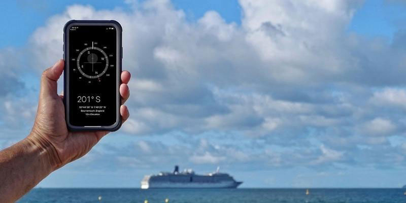
The course on your chart or your boat navigation app will be plotted relative to ‘true north’, the direction along the earth’s surface towards the geographic North Pole. However, your compass will always point to ‘magnetic north’, which is different.
This is because fluid iron in the earth’s core acts like a huge magnet, creating a relatively weak magnetic field. The needle in a compass is magnetised and freely suspended, and it aligns itself with the earth’s magnetic field.


Variation is the difference between true north and magnetic north and is measured in degrees and minutes (either east or west). It is shown on your chart in the compass rose.
The size of the variation will depend on two factors: where you are on earth and when you are there. In some places variation is minimal (two or three degrees), and given most people on the helm cannot steer to that level of precision, it is not worth accounting for. However it can, in some places, be up to 30 or 40 degrees, so it certainly needs factoring in.
Variation changes over time, and as it can be predicted your chart will show the yearly change relative to the date it was printed.
What is deviation?
So that is variation, but what is deviation? It is important to understanding the error caused by local magnetic fields. Although we said that your compass points to magnetic north, annoyingly that is not entirely true. Objects on your boat, such as radios and mobile phones, create their own magnetic fields, which mess with the compass. This is called deviation.
Unlike variation, deviation changes depending on the boat (with their different objects and layouts) and also on your heading. Why on the heading? Imagine you have a radio installed in front of the steering compass. When heading north your compass needle will be attracted towards it, which is fine because that is the direction you are heading anyway. Head east and the needle is pulled in two directions – towards magnetic north and towards the radio.

Creating a course to steer
You need to convert the course from your chart into a compass course to steer. You will also need to convert your compass course back into a true course if you want to transfer it onto your chart.
The main thing to remember is whether to add or subtract variation and deviation. From true to compass add the degrees if they are west (and subtract east), and from compass to true do the opposite; subtract west (and add east).
There are a few different mnemonics to help you remember: “Error west compass best” and “Error east compass least” – best in this case meaning the biggest, so add it.
savvy navvy is the boating app that brings all essential marine information together in one place. It features global charts, wind and weather forecasts, tidal graphs, GPS Tracking, automatic weather routing and marina and anchorage information.